![]()
New Technology in Forensic Engineering Keeps “Flying” Ahead
,
Steven M. Schorr, PE, President of DJS Associates and Lead Collision Reconstruction Engineer ::::
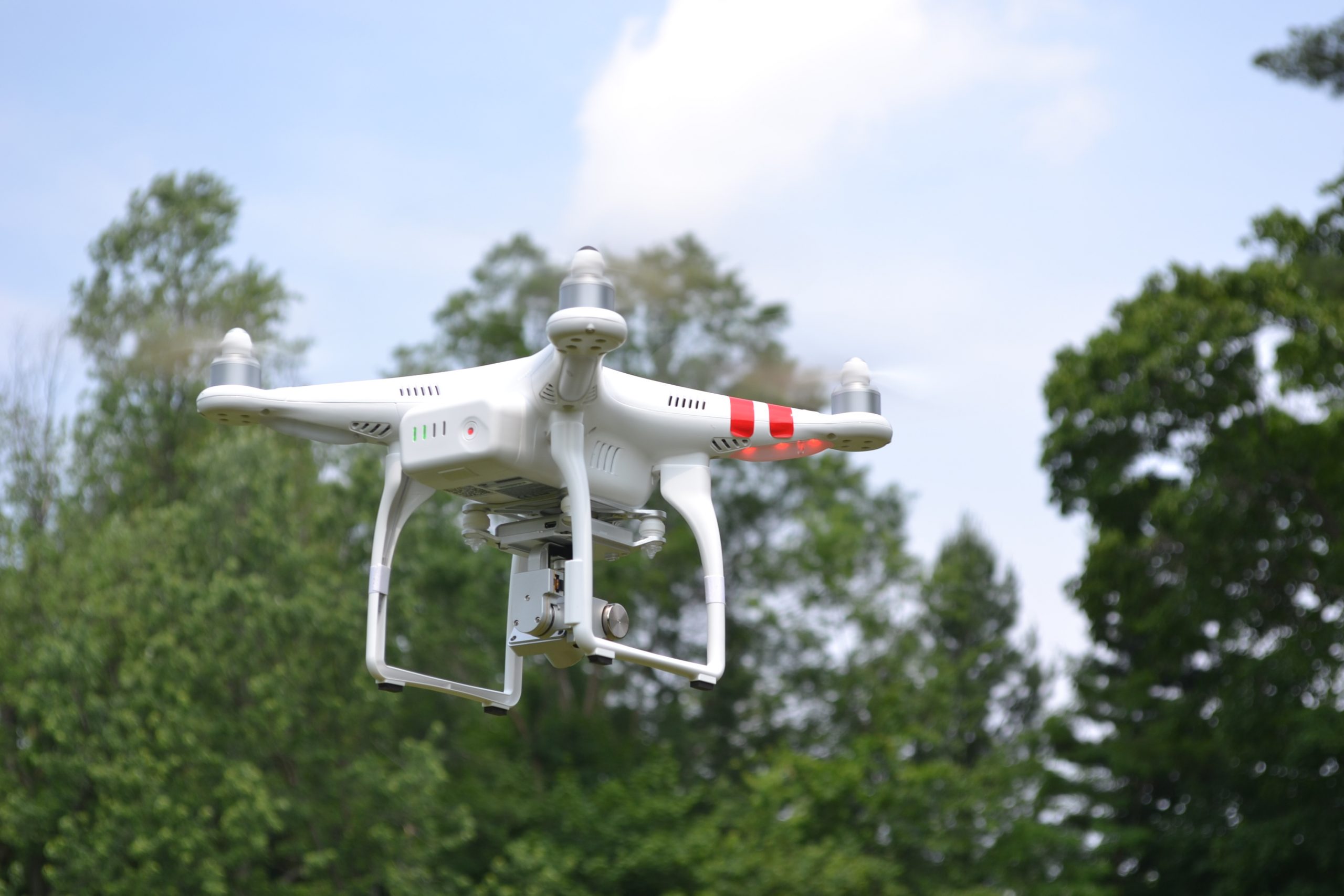
Look up in the sky, it seems like you see them everywhere… Unmanned Aerial Vehicles (UAV’s), or drones, are proliferating.
However, despite the numbers, commercial firms using them for their ability to collect critical data for use in an engineering analysis is just now starting to scratch the surface. The high quality still and video images collected by drones can be used to create accurate three-dimensional models of roadways, terrains, buildings, vehicles and other objects. Computer applications that transform these aerial images into three-dimensional models are improving exponentially and the cost for data processing is coming down.
While it is doubtful that drone technology will ever completely replace three-dimensional laser scanning, already, the ease and efficiency of collecting data using drone technology has replaced some terrestrial laser scanning in certain long-range data collection situations. Proper drone use requires a certified Federal Aviation Administration (FAA) pilot who has passed a test and has a license*. Further, drone pilots must adhere to specific flight restrictive rules. Advanced data processing technology allows for expanded uses of the data collected by the drone. These uses are expanding daily, limited only by the creativity of its users.
[*DJS Associates, Inc. has 7 certified drone pilots utilizing drones on an everyday basis.]
Steven M. Schorr, PE, President of DJS Associates and Lead Collision Reconstruction Engineer, can be reached via email at experts@forensicDJS.com or via phone at 215-659-2010.
Tags: Drone Documentation | Steven M. Schorr
Have A Question About This Article or Want to Contact the Expert?
Request An Expert
Fill out the form below so we may refer an expert
Areas of Expertise
Additional Areas of Expertise
From Our Blog
Who is DJS Associates?
